 |
 |
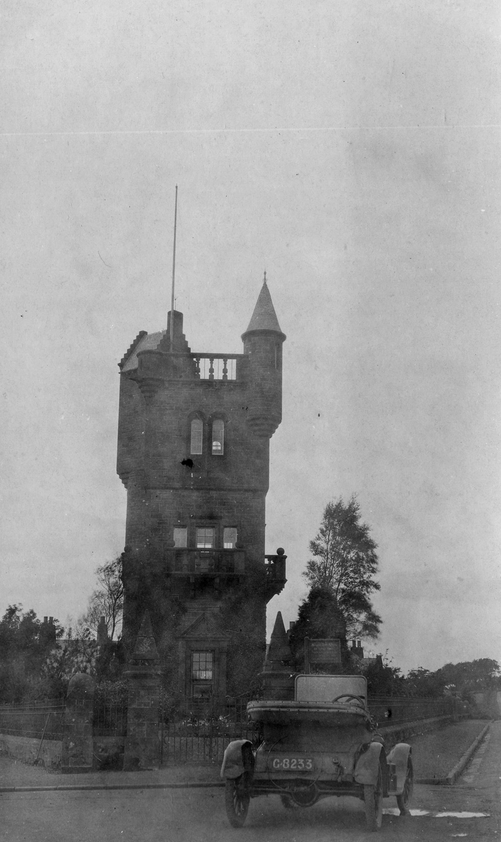 |
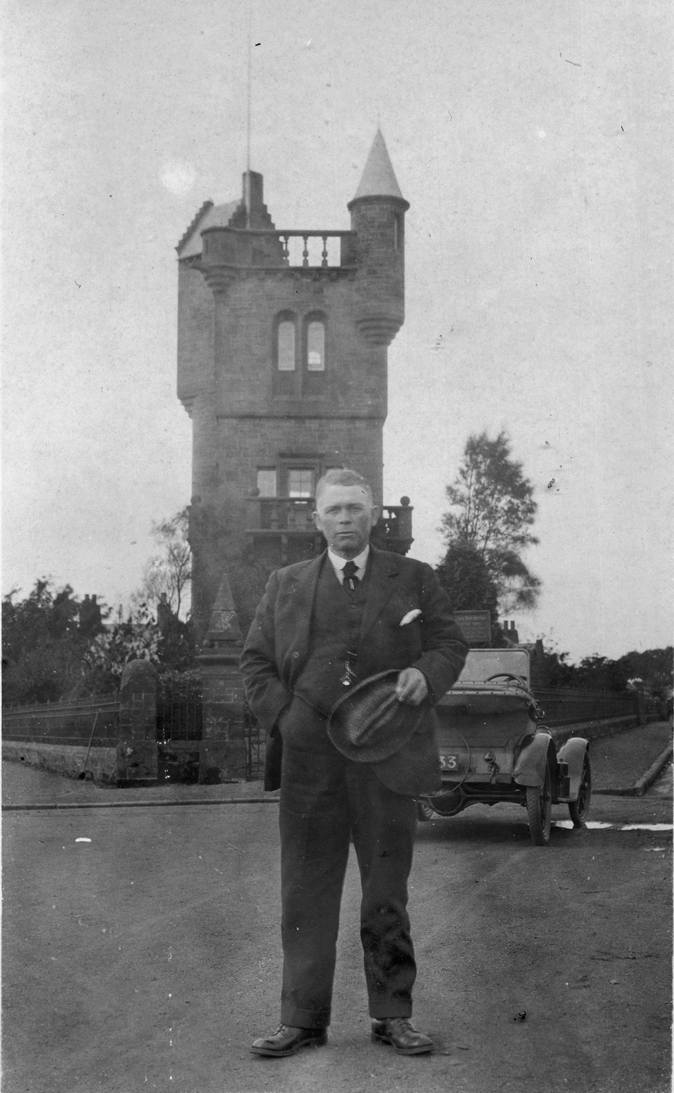
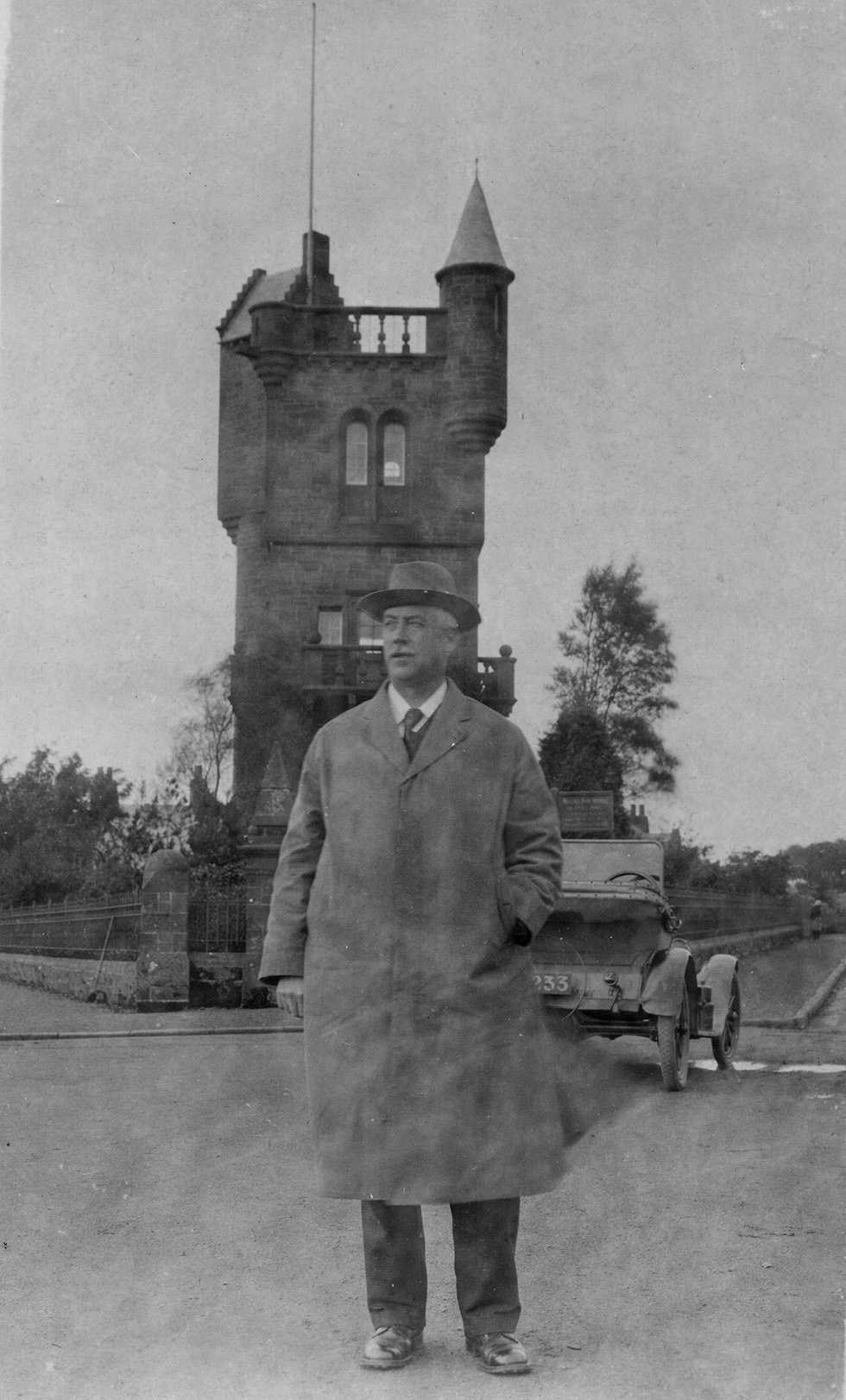
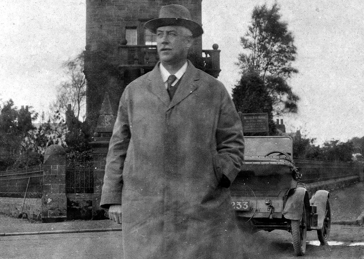
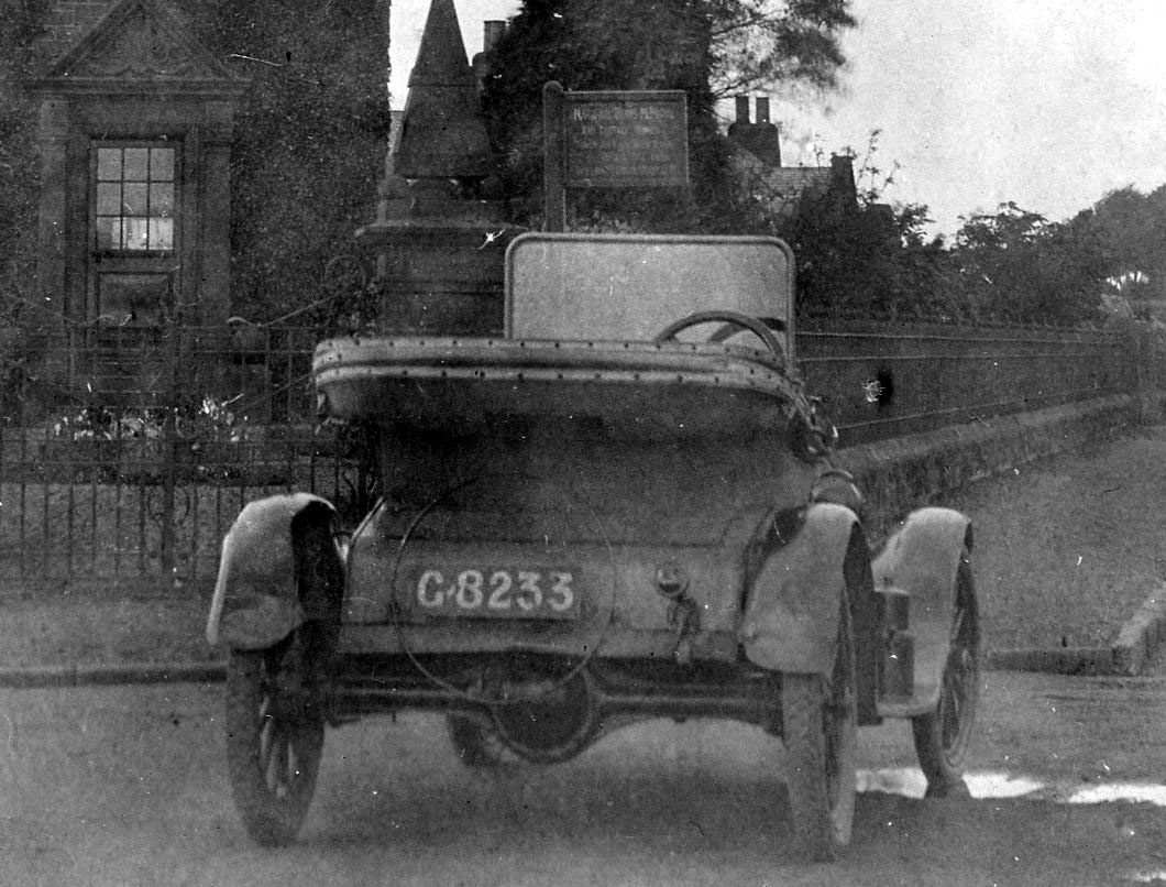
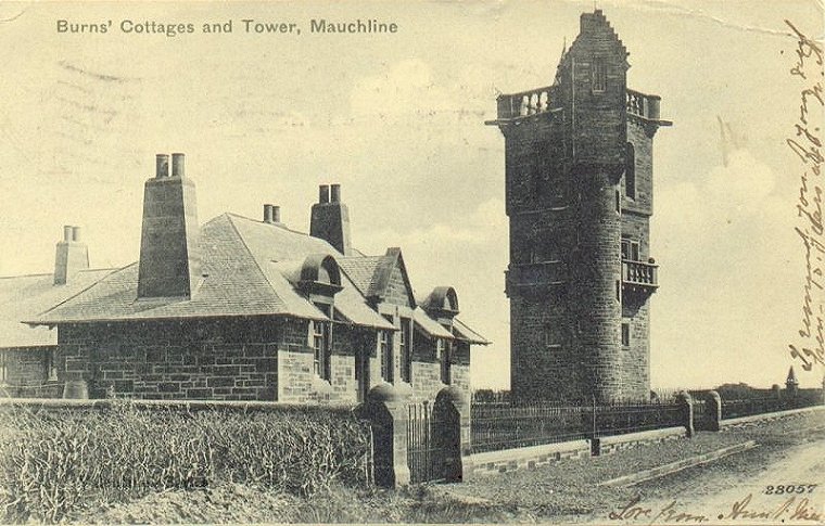
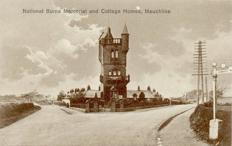
| Above are three very interesting postcards from the archives of ayrshirehistory.com, which were for sale on ebay for a time in the summer of 2011, and eventually bought at a postcard fair in Prestwick. Initially I am convinced the initial images on ebay were identical, ie looking like it was three of the same card. But I realised at the fair in Prestwick that they were three of a set. But who are they? Who are the distinguished looking gentlemen. How old is the image if you are to go by the model of the car, of which I am no expert. |
 |
 |
 |
 |
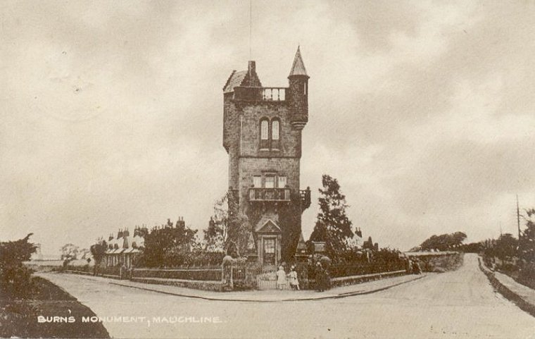 |
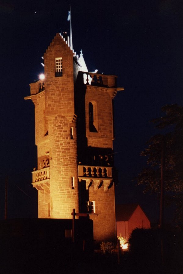
Photo: Archie and Marjorie
Johnston |
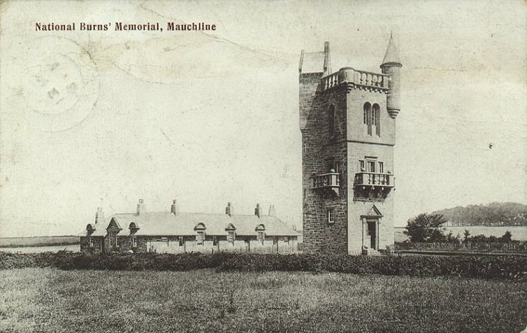
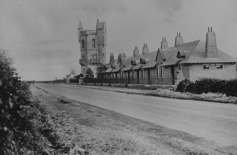
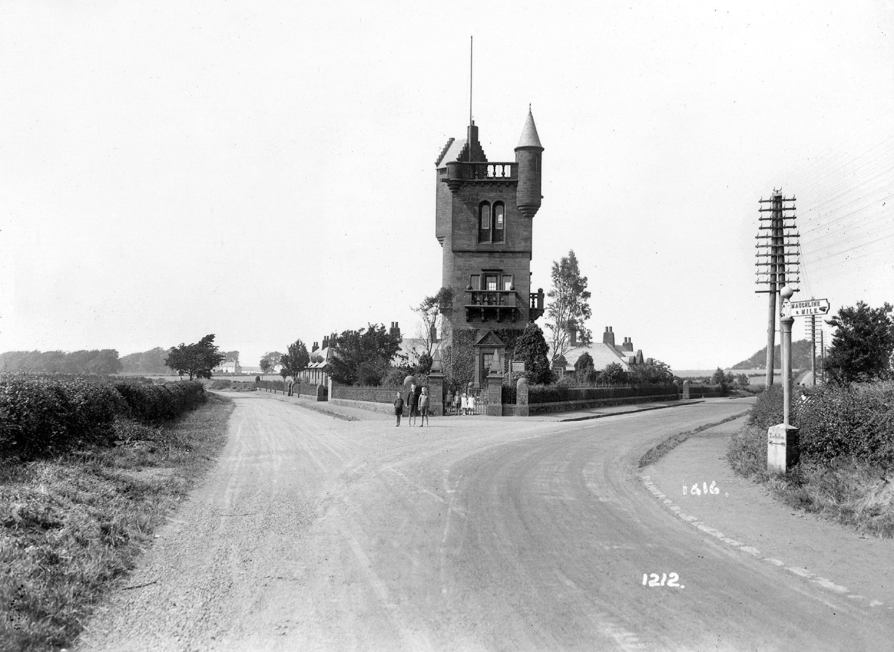
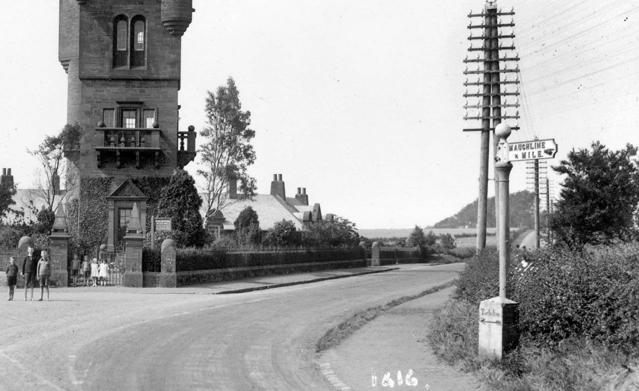
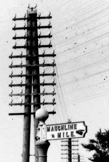
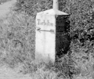
Photo: Library and
Information service, EAC |
 |
 |
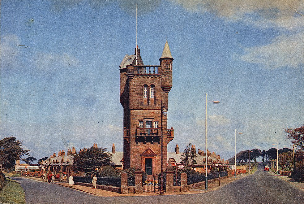
| Photo: Library and Information service, EAC | Photo: Library and Information service, EAC |