| AYRSHIREHISTORY.COM PRESERVING THE PAST . . . . FOR THE FUTURE |
AILSA CRAIG |
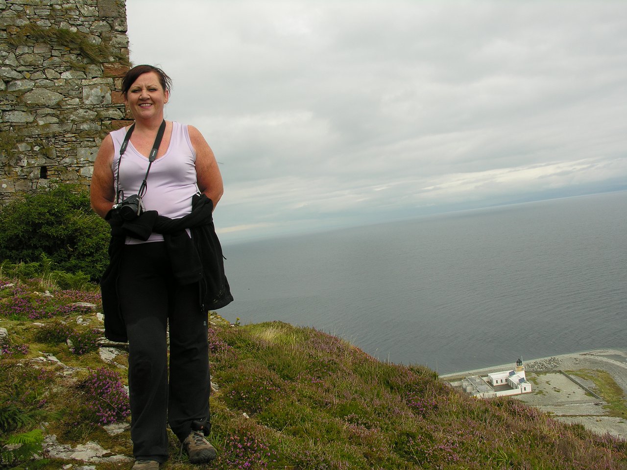
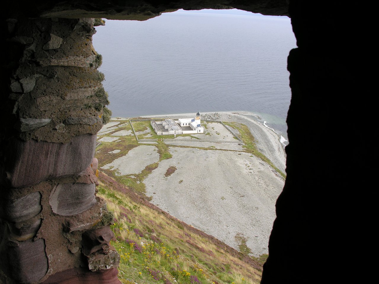
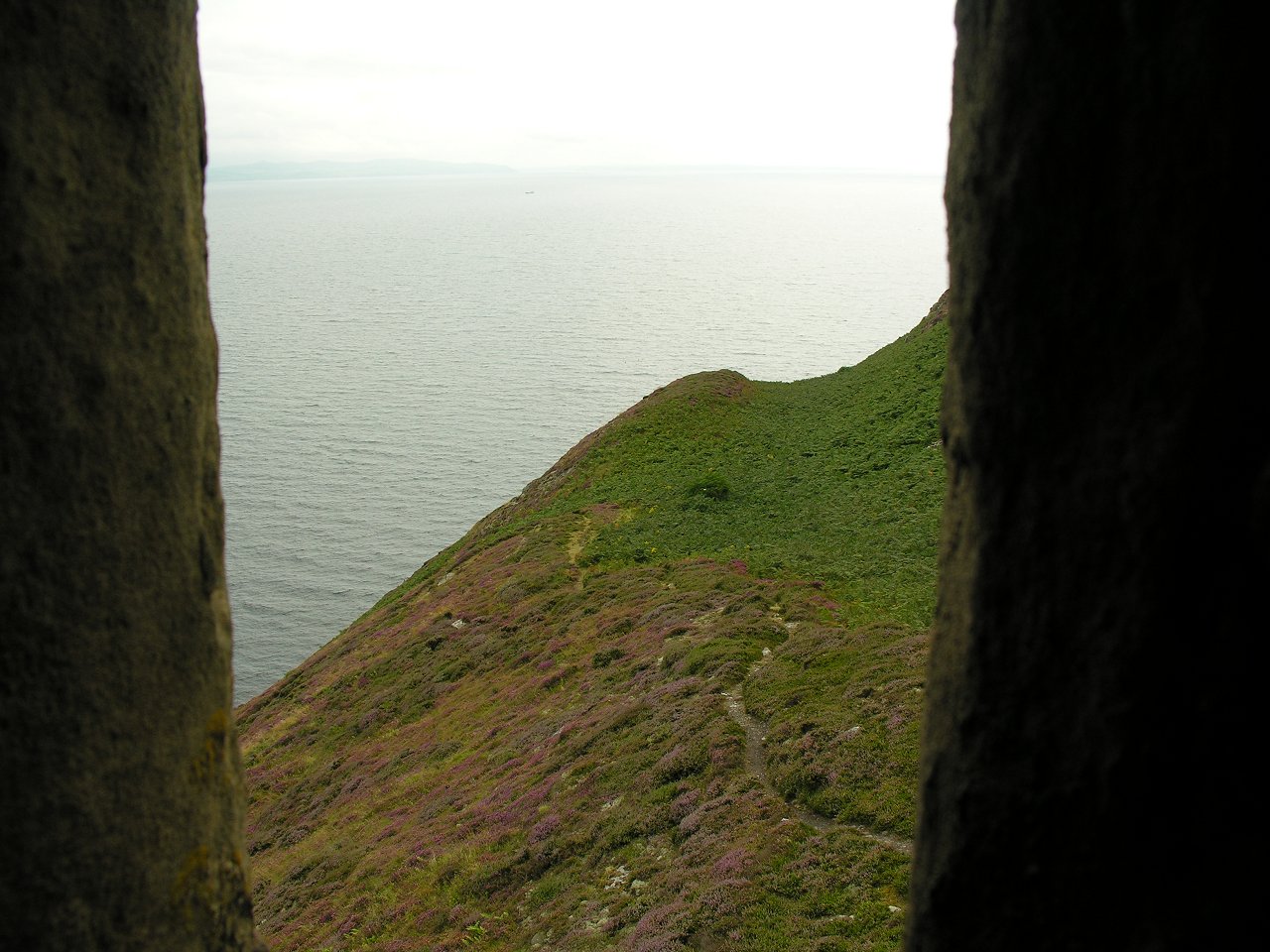
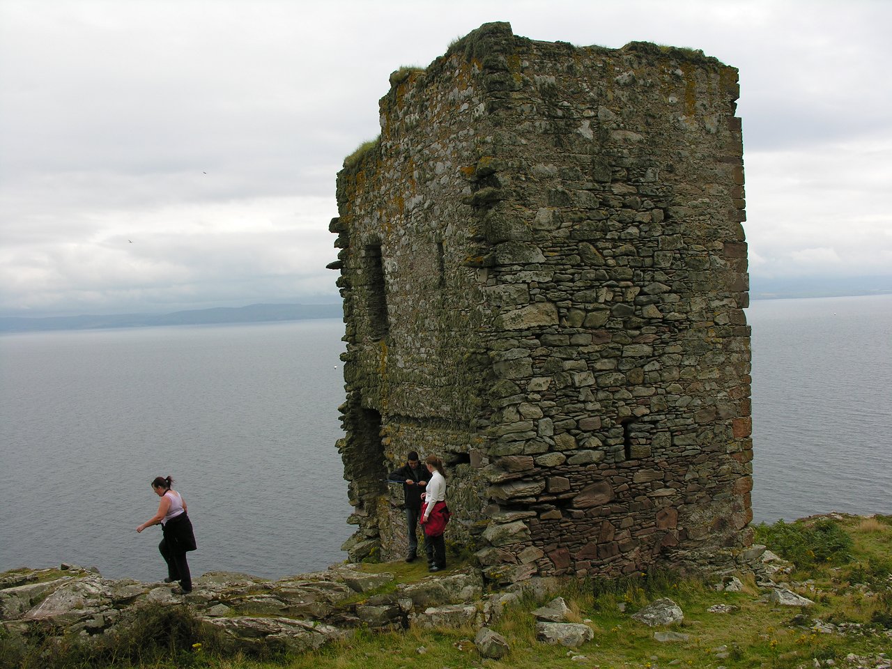
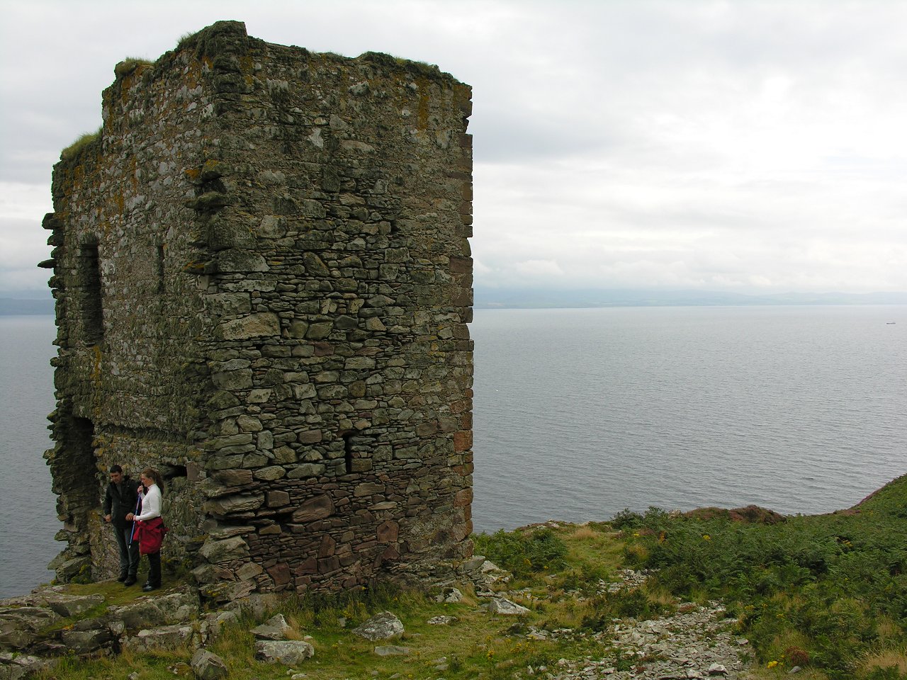
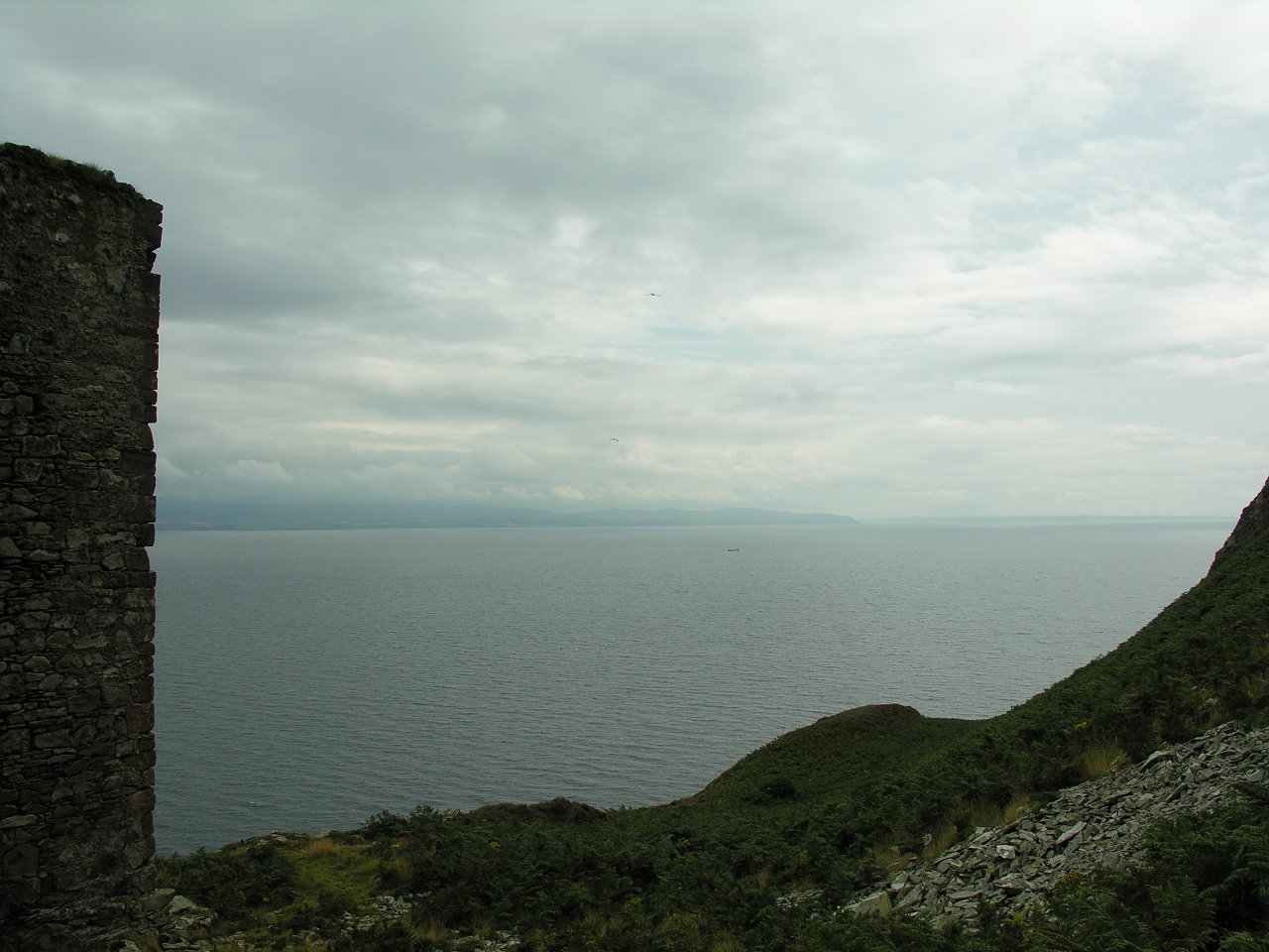
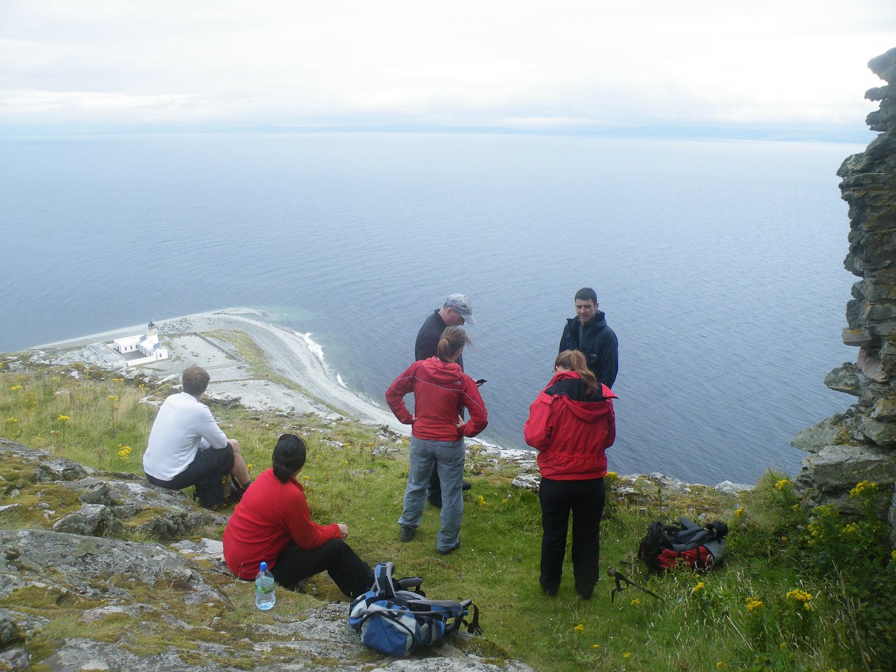
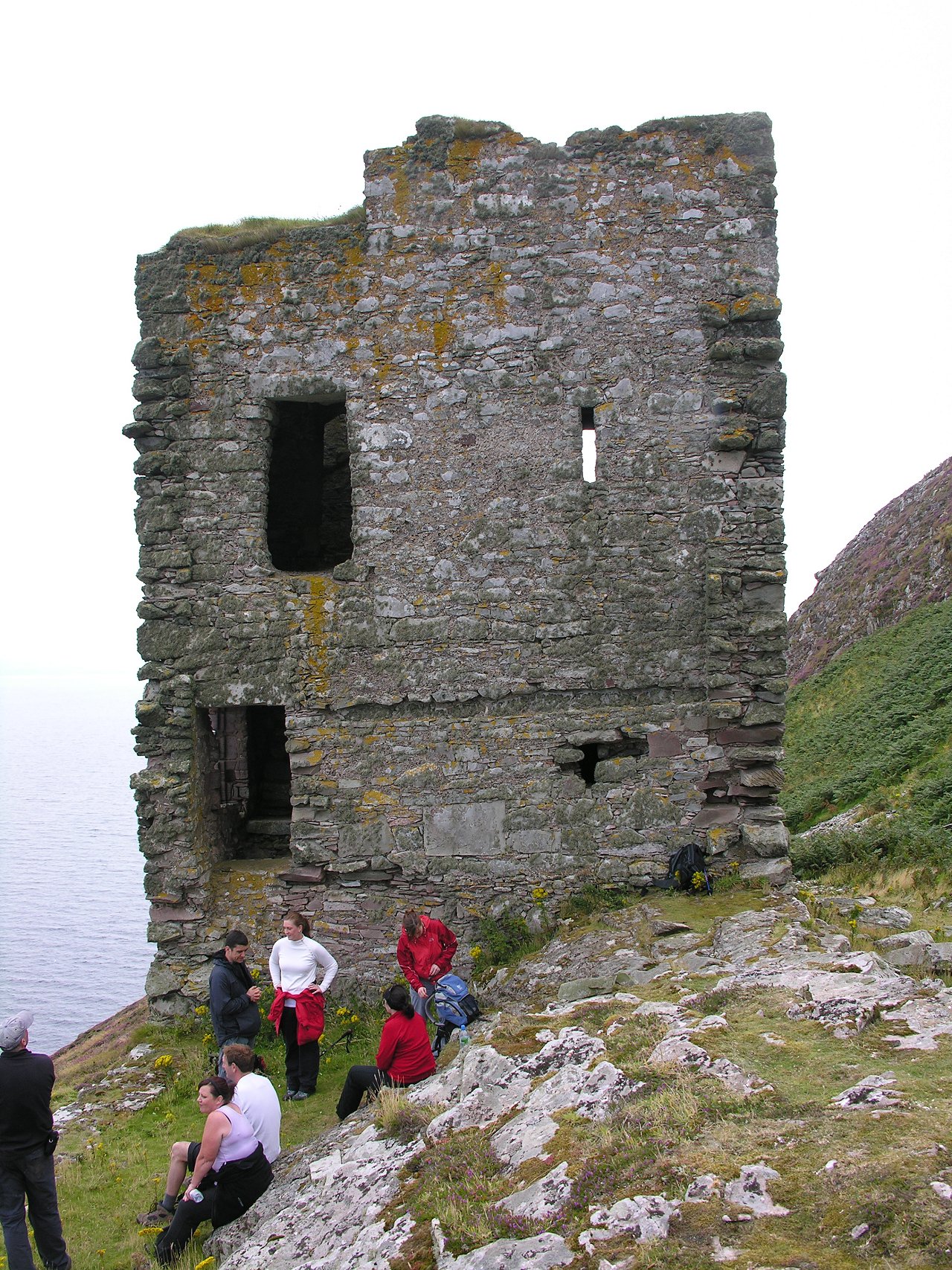
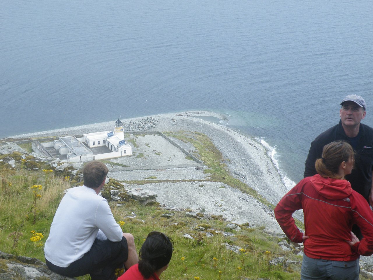
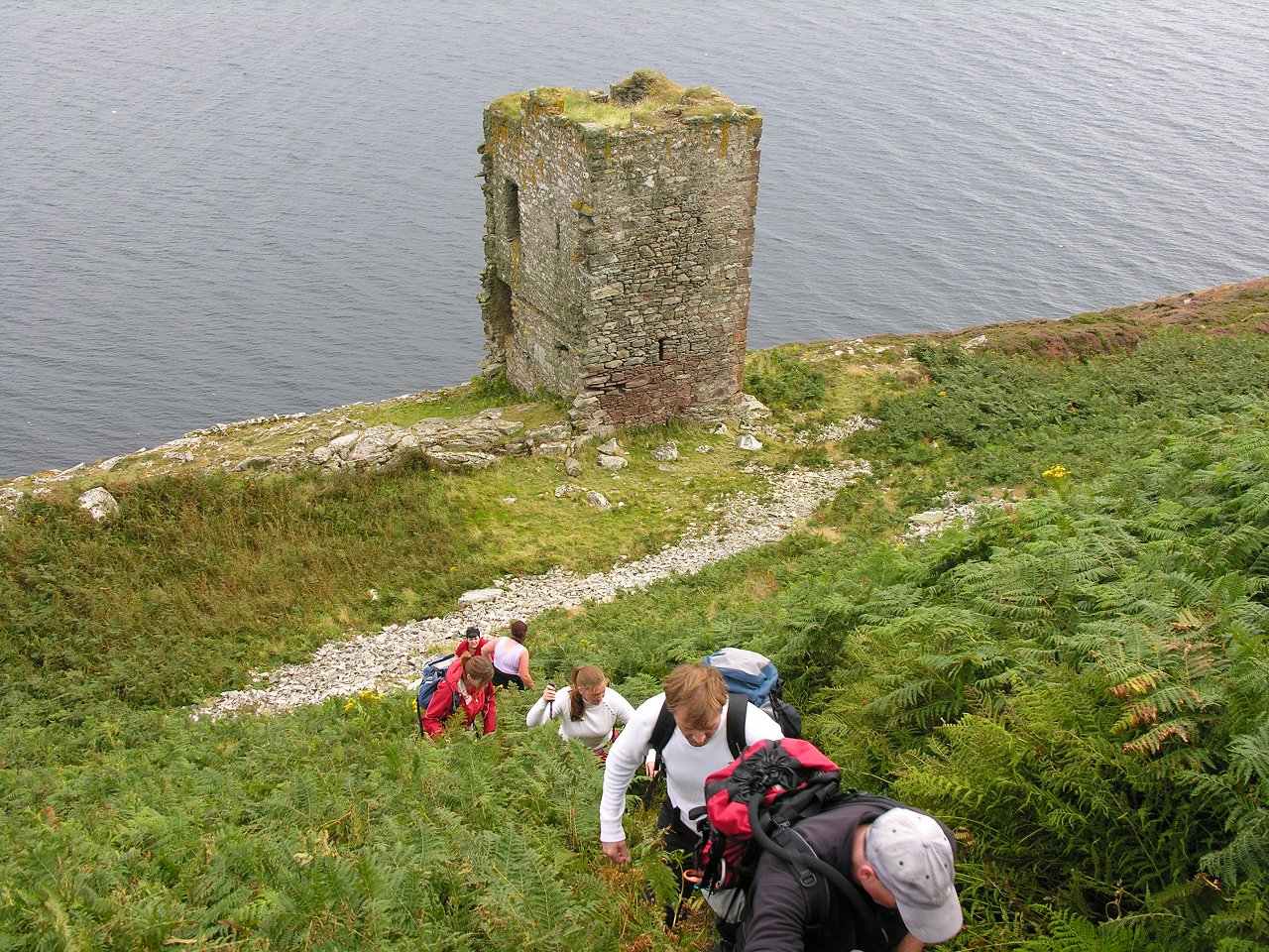
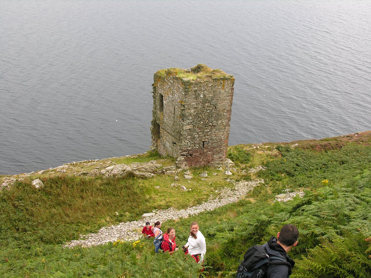
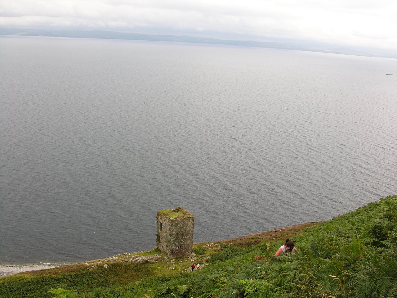
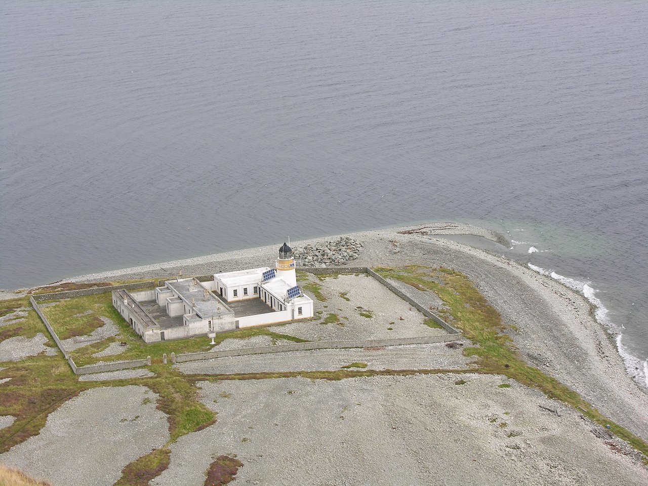
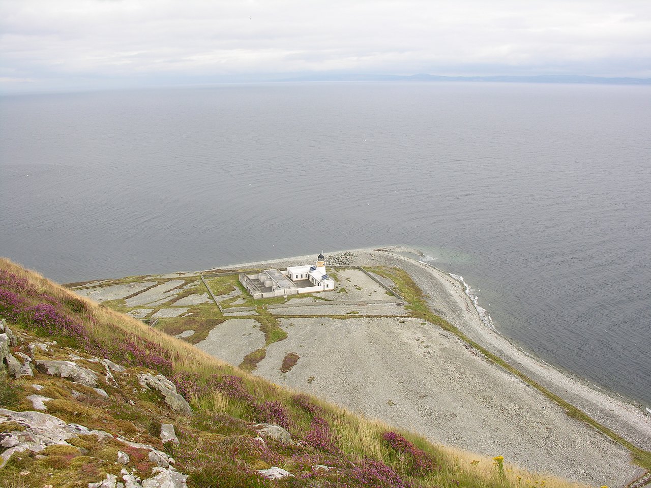
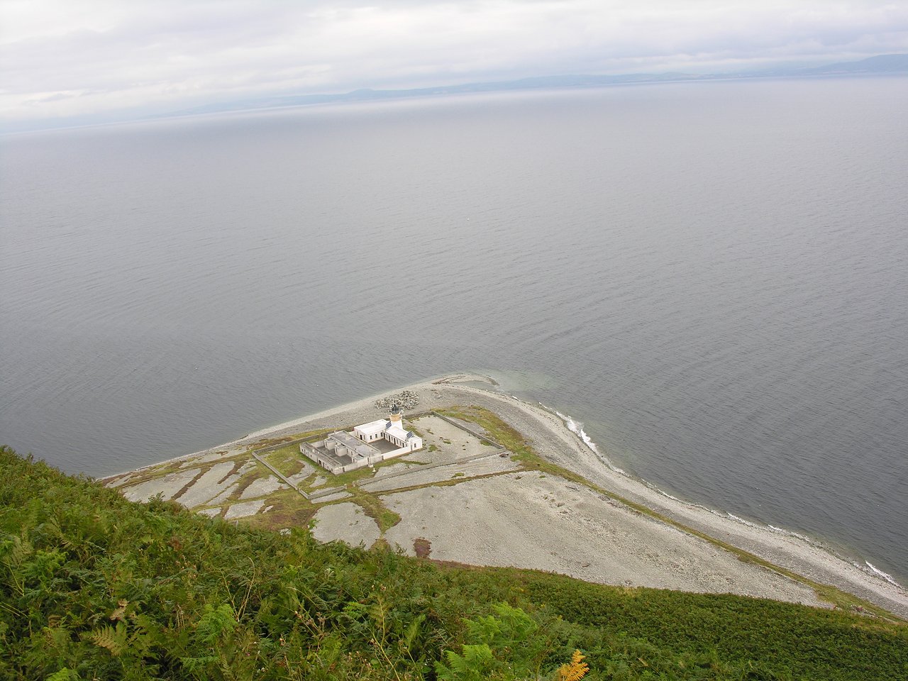
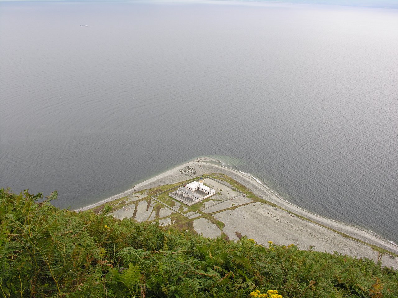
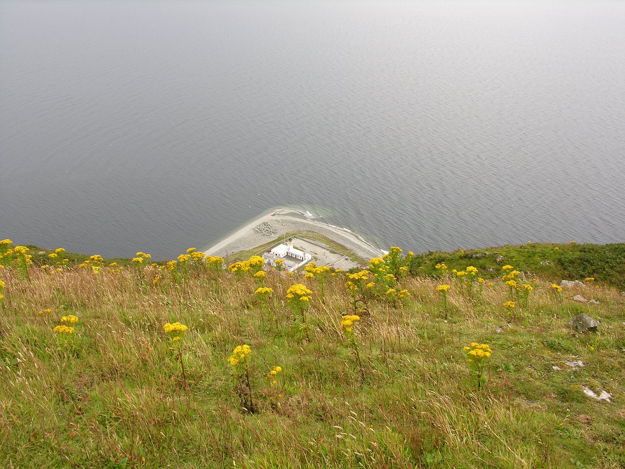
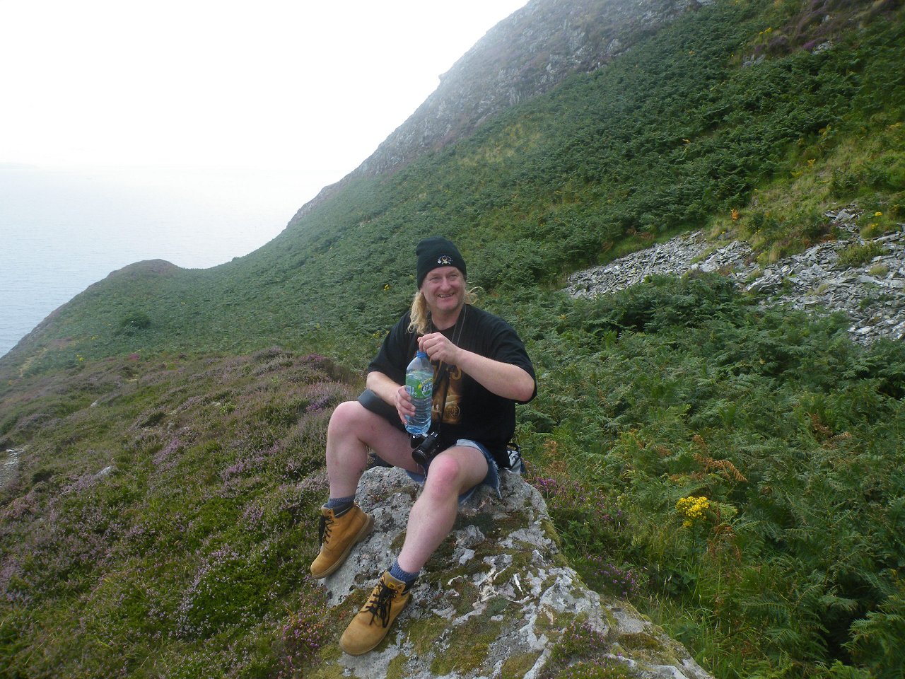
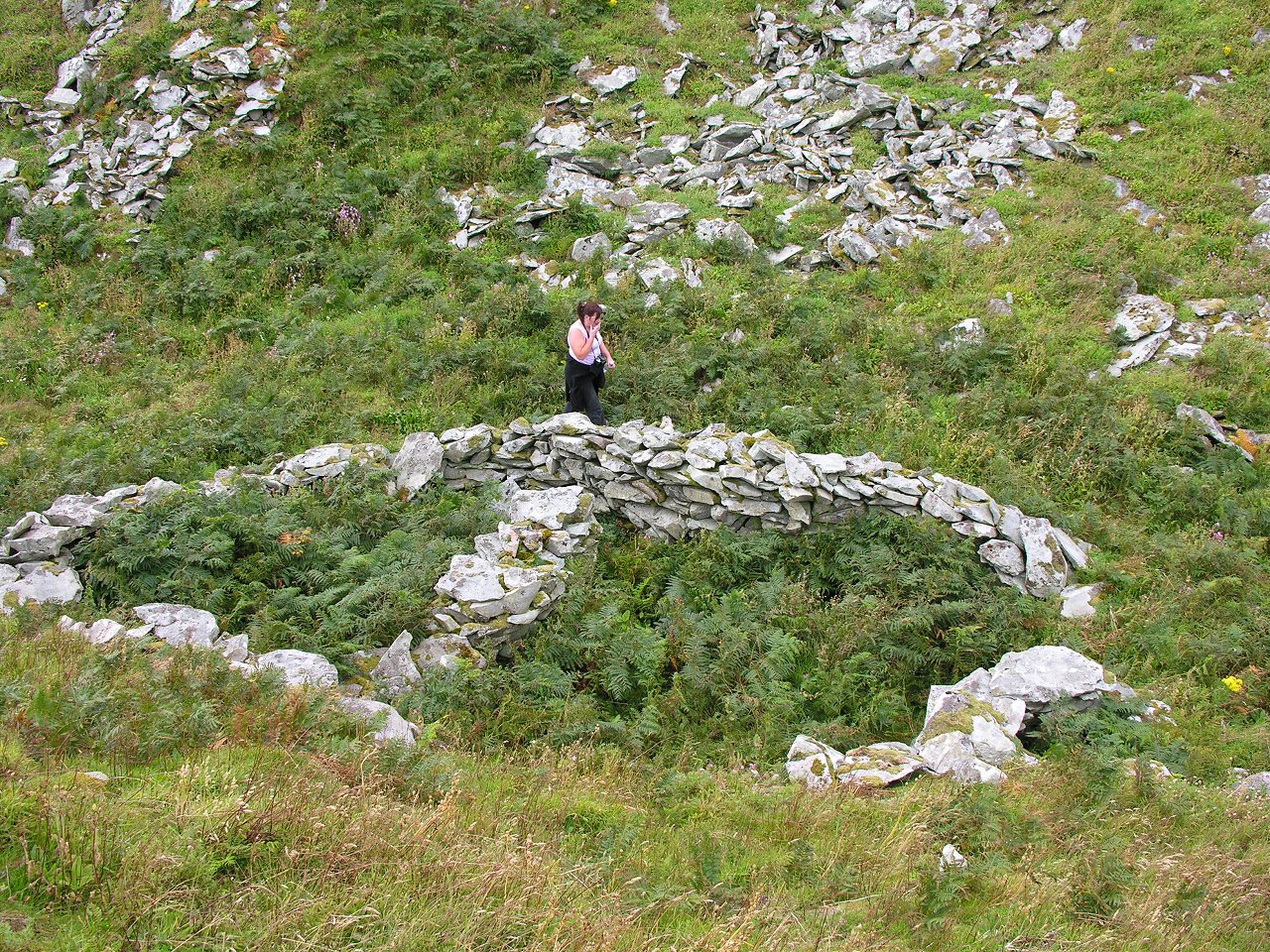
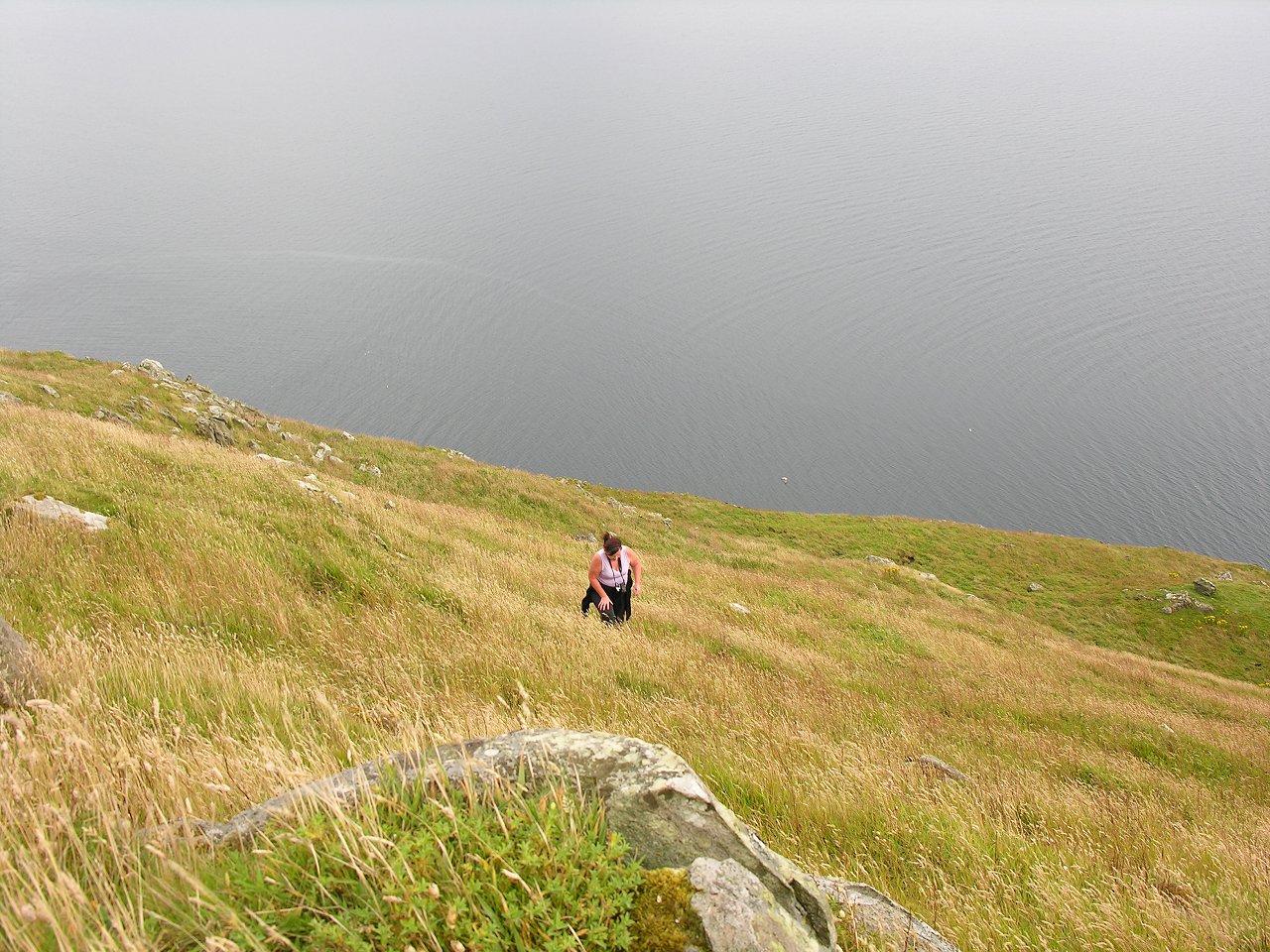
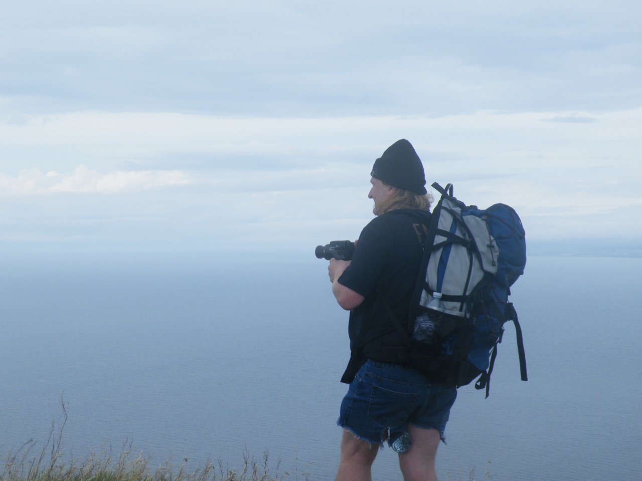
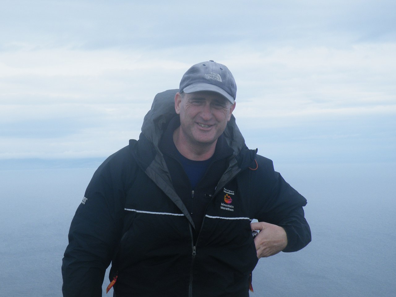
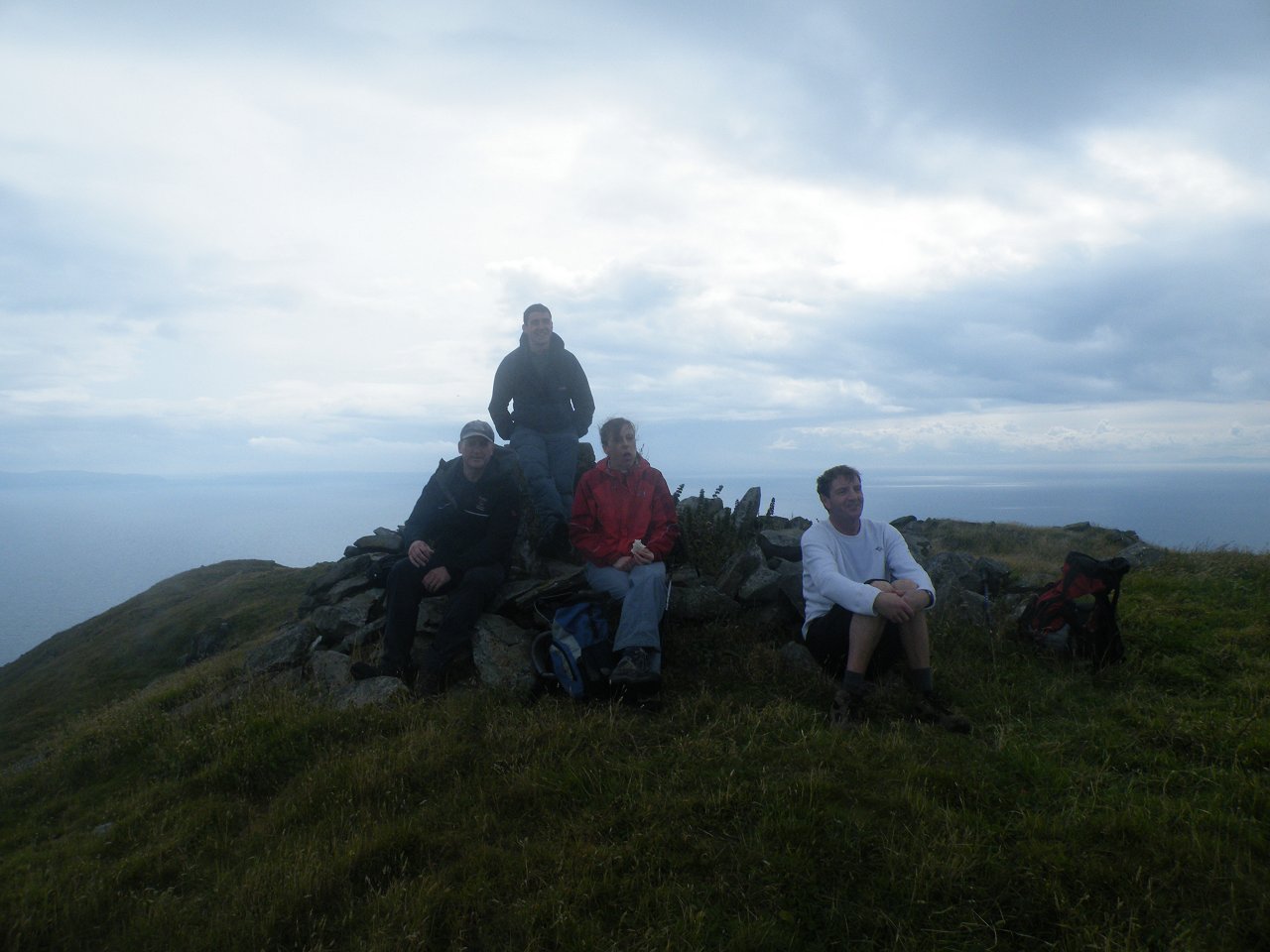
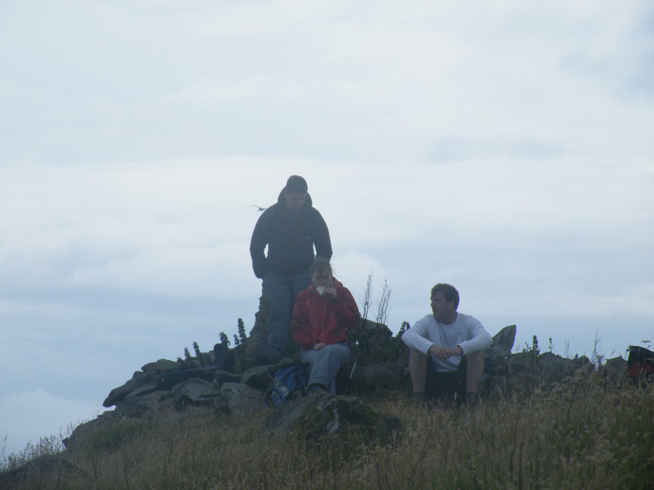
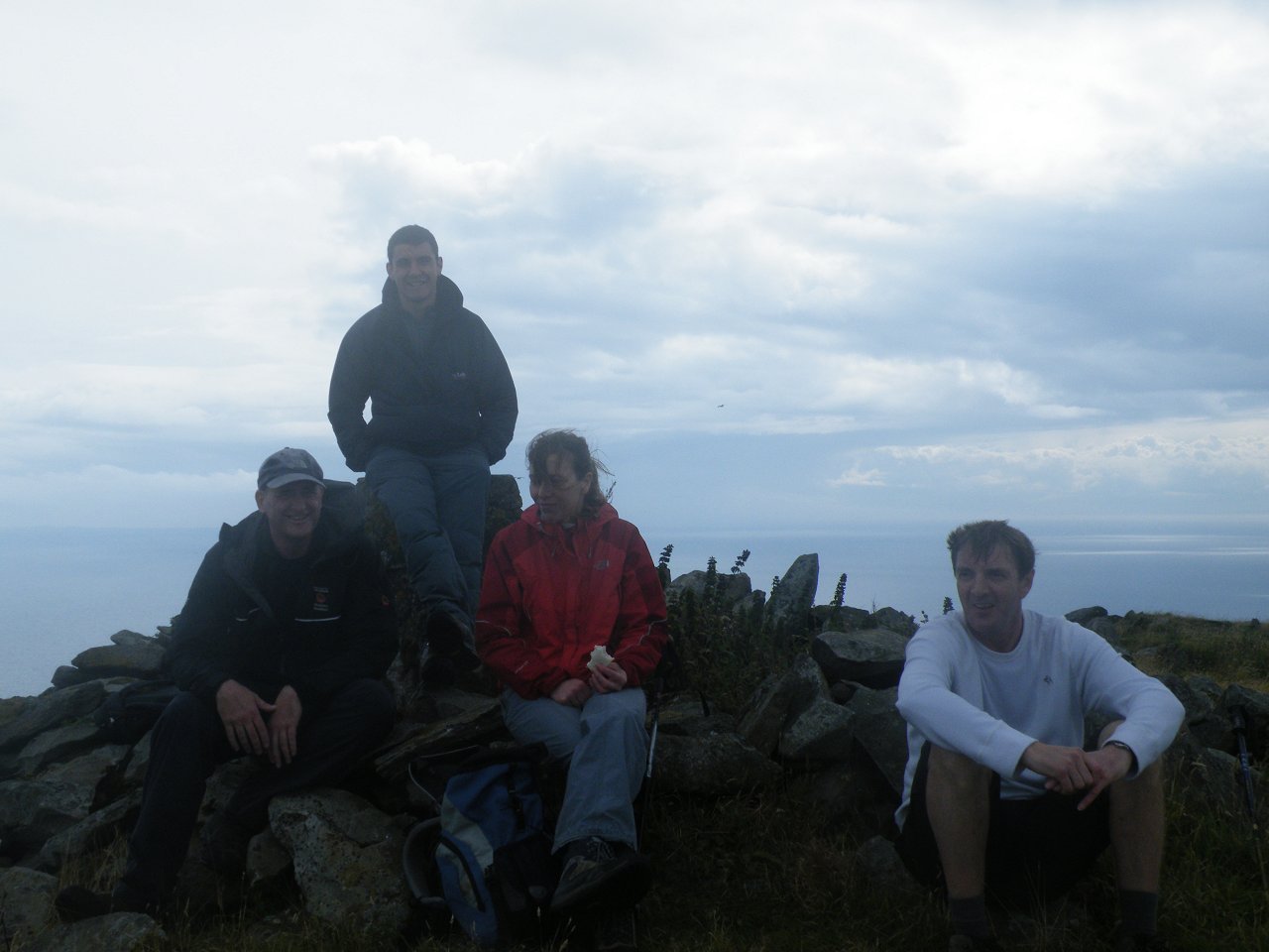
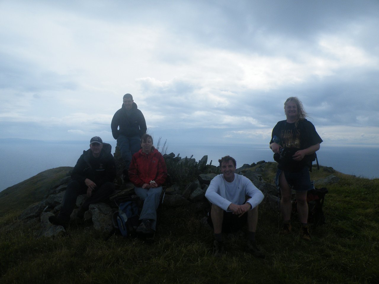
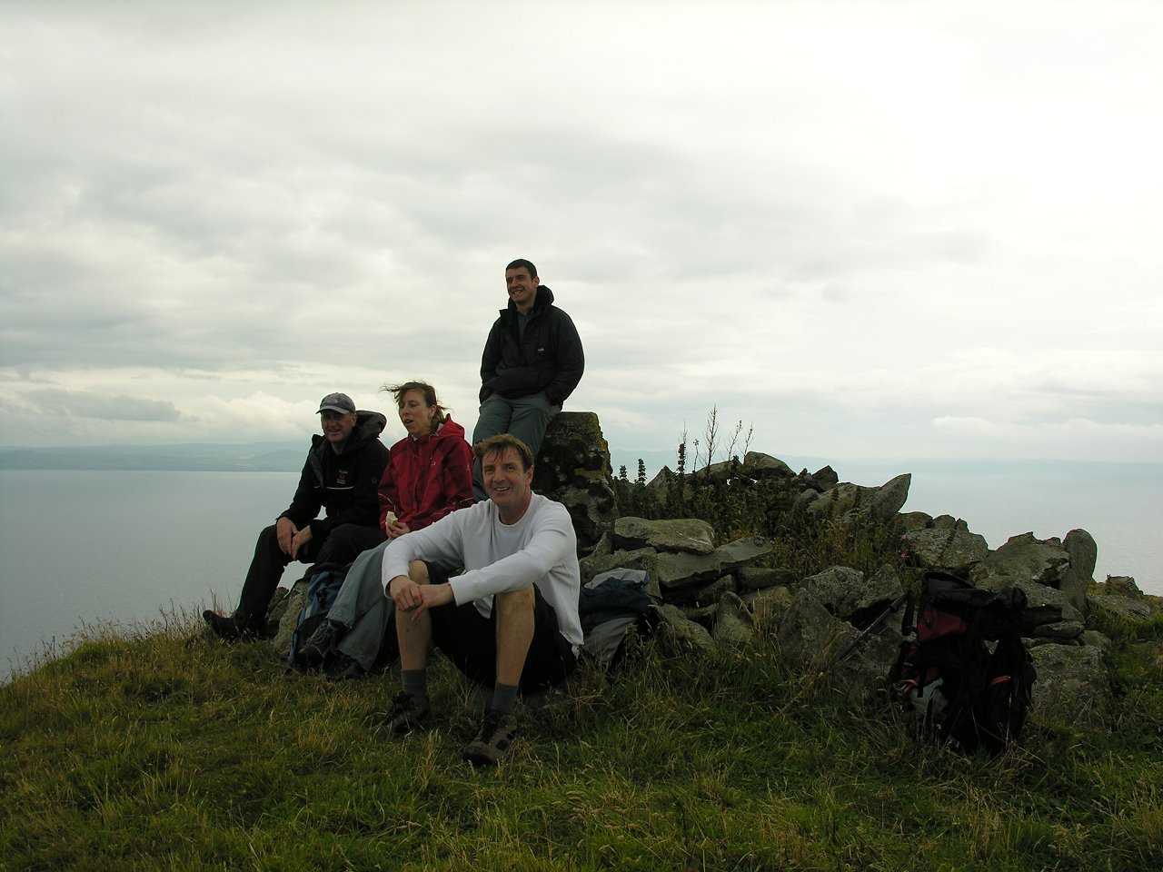
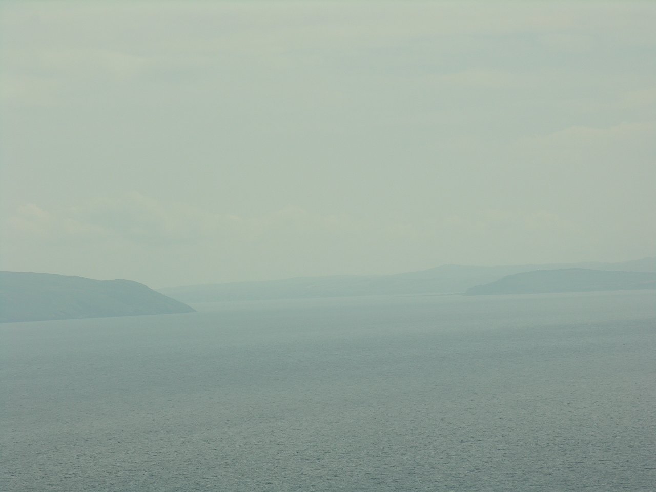
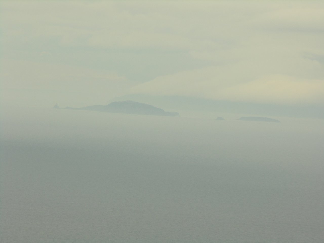
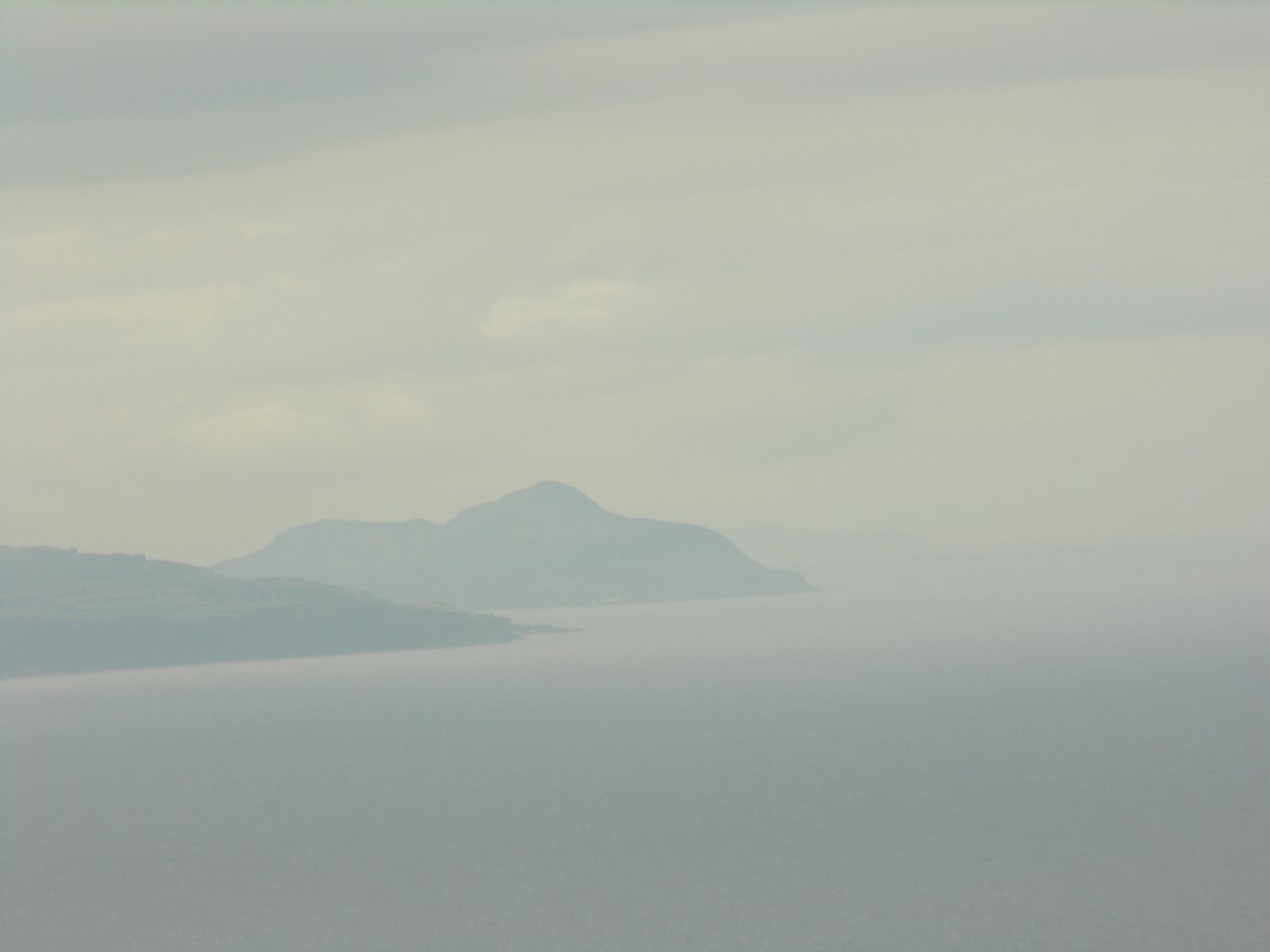
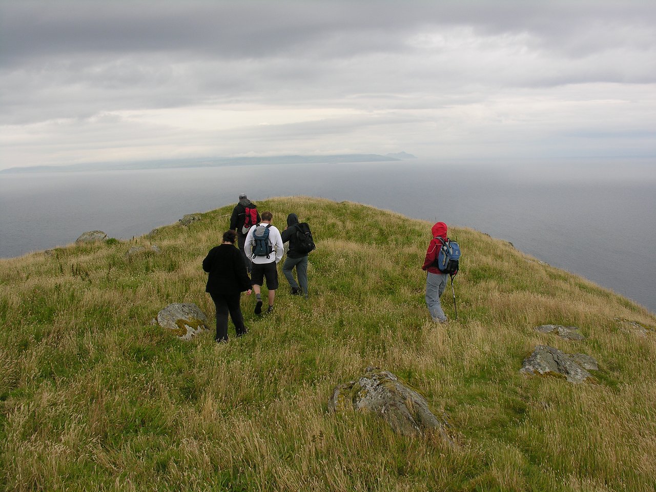
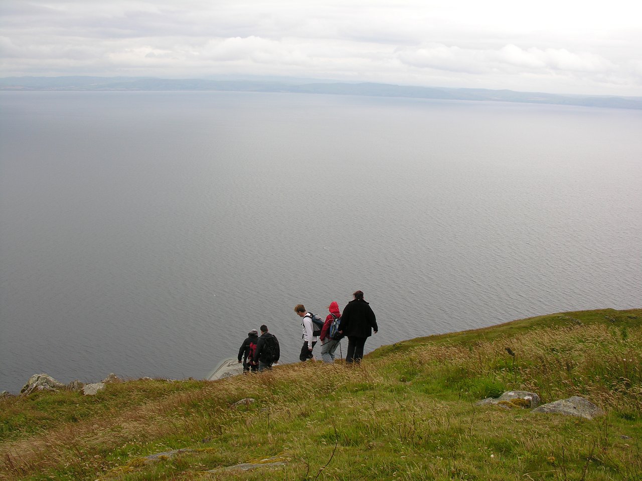
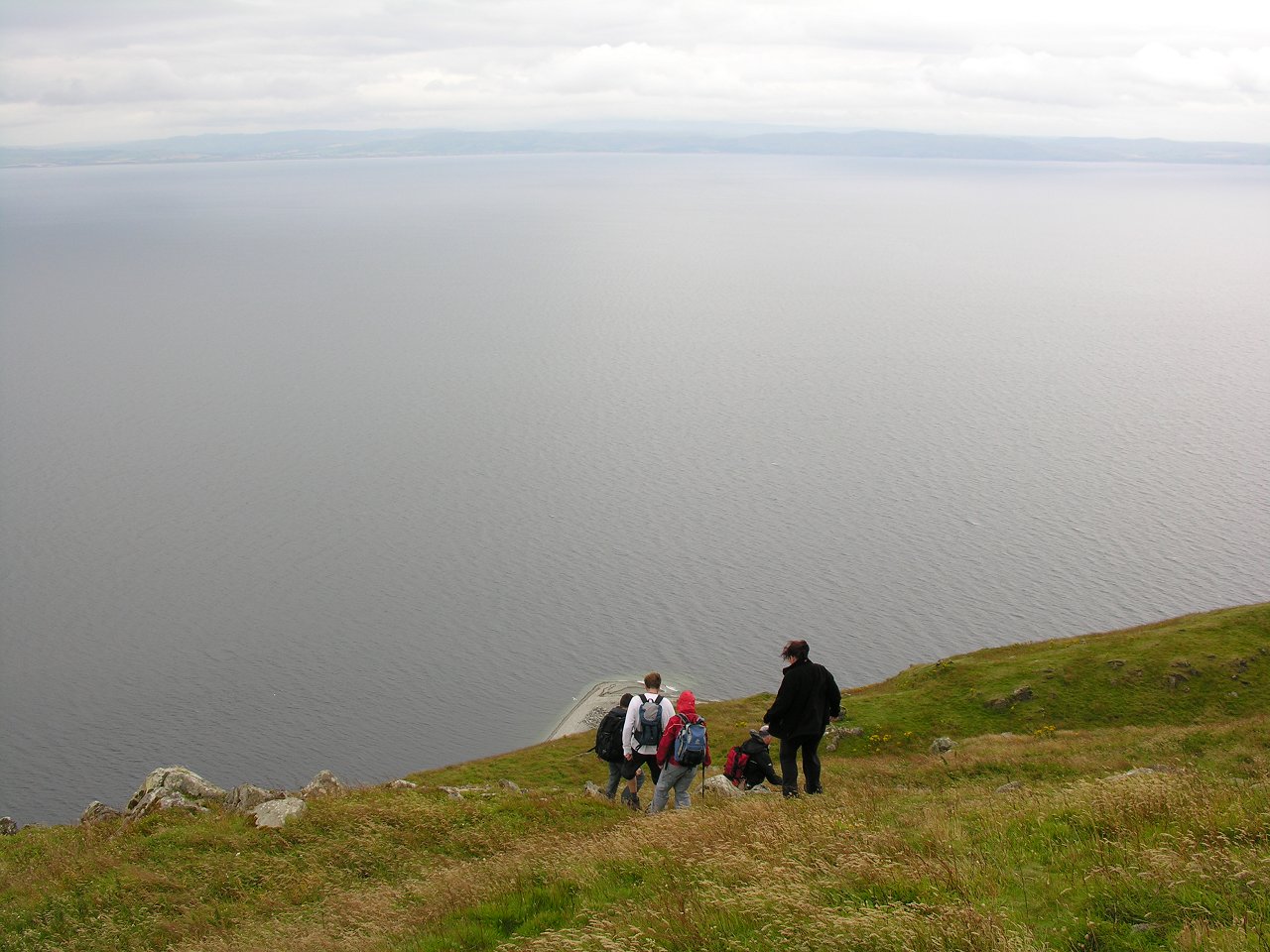
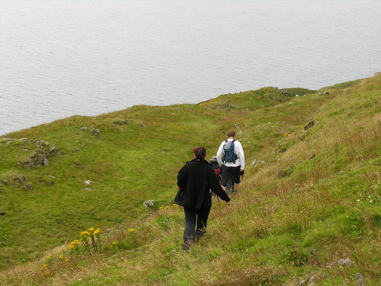
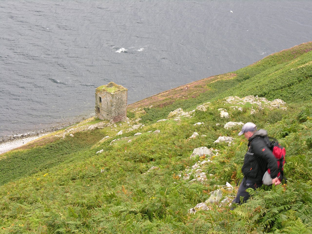
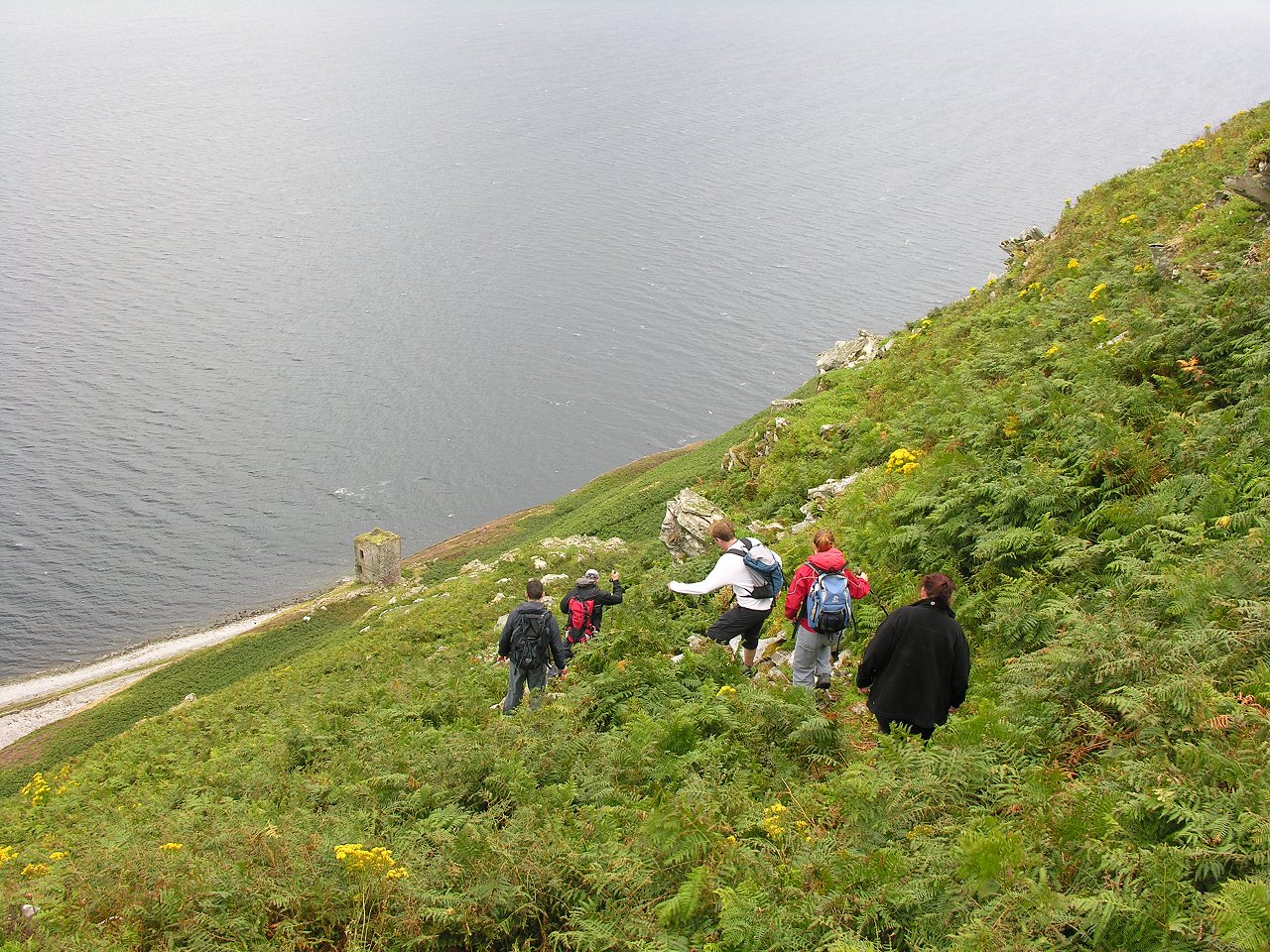
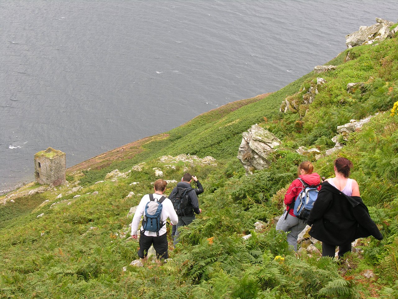
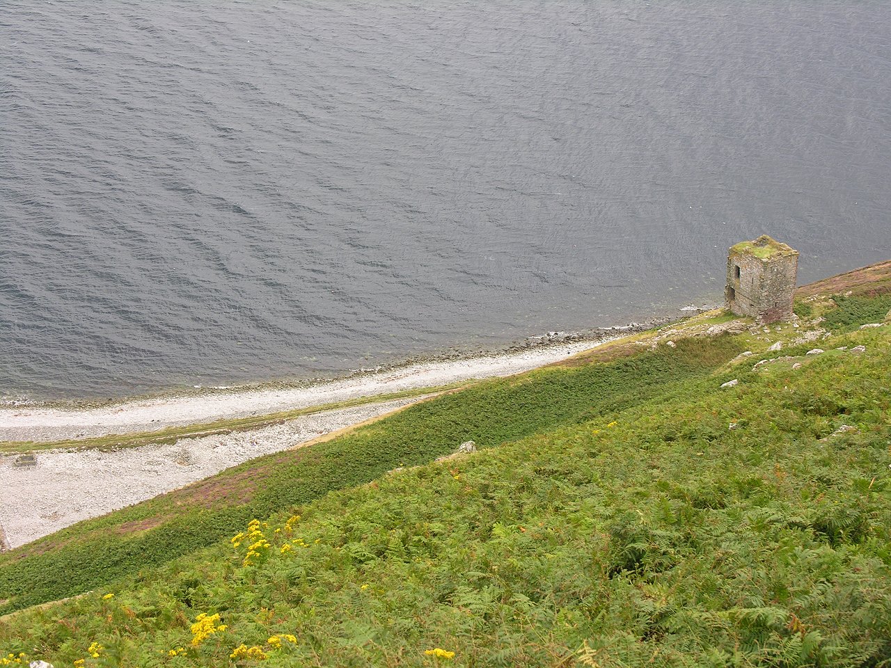
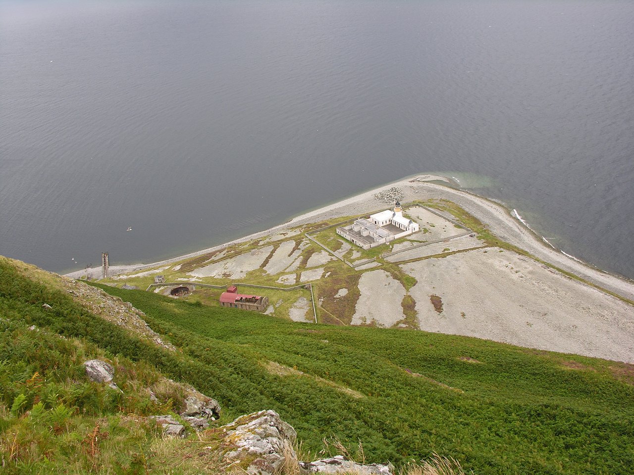
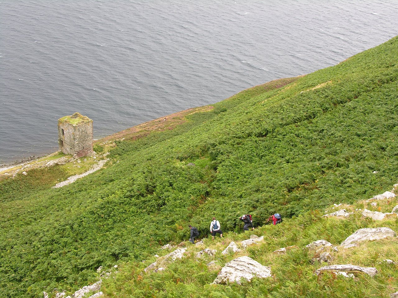
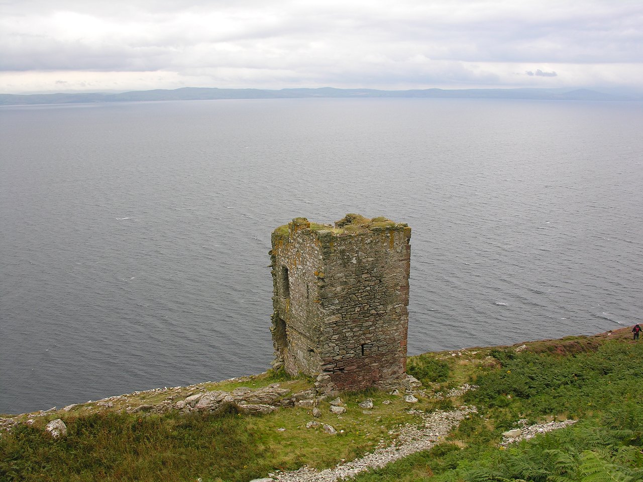
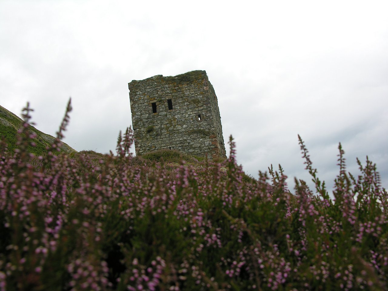
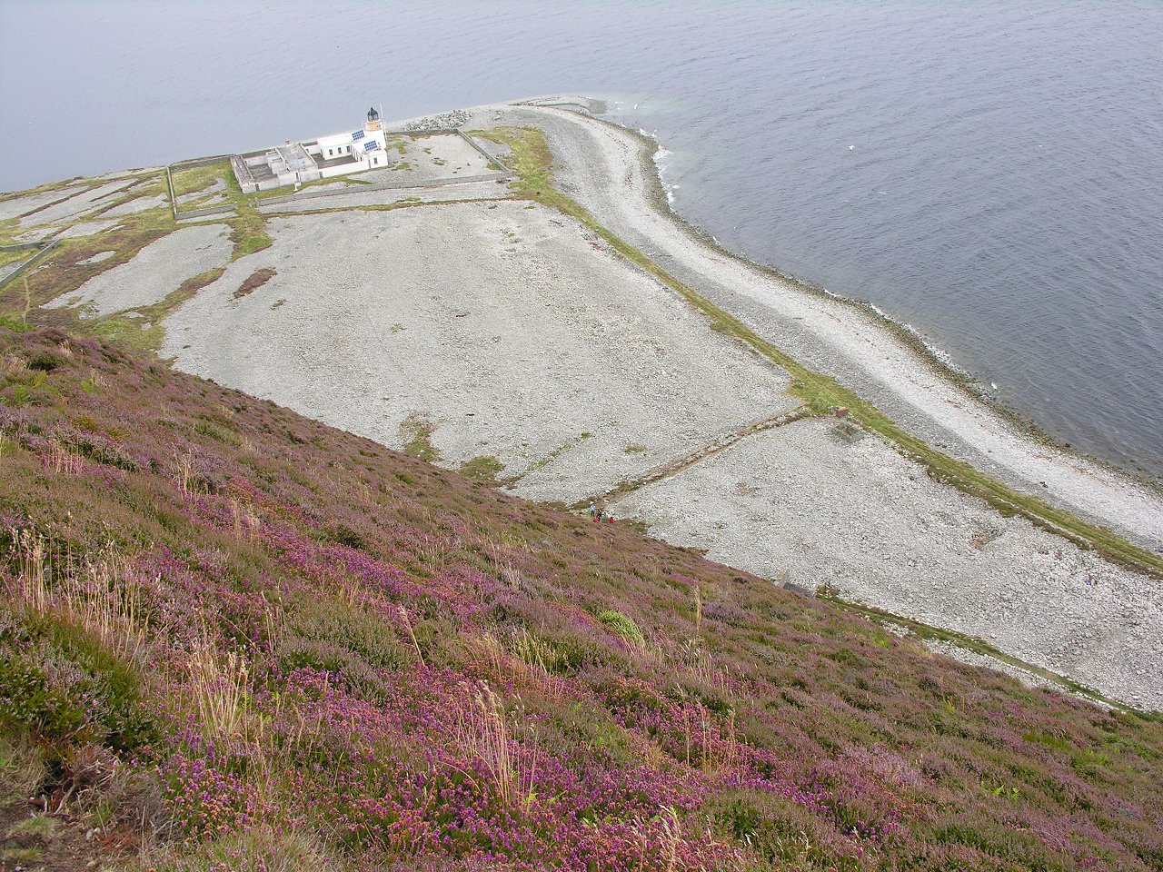
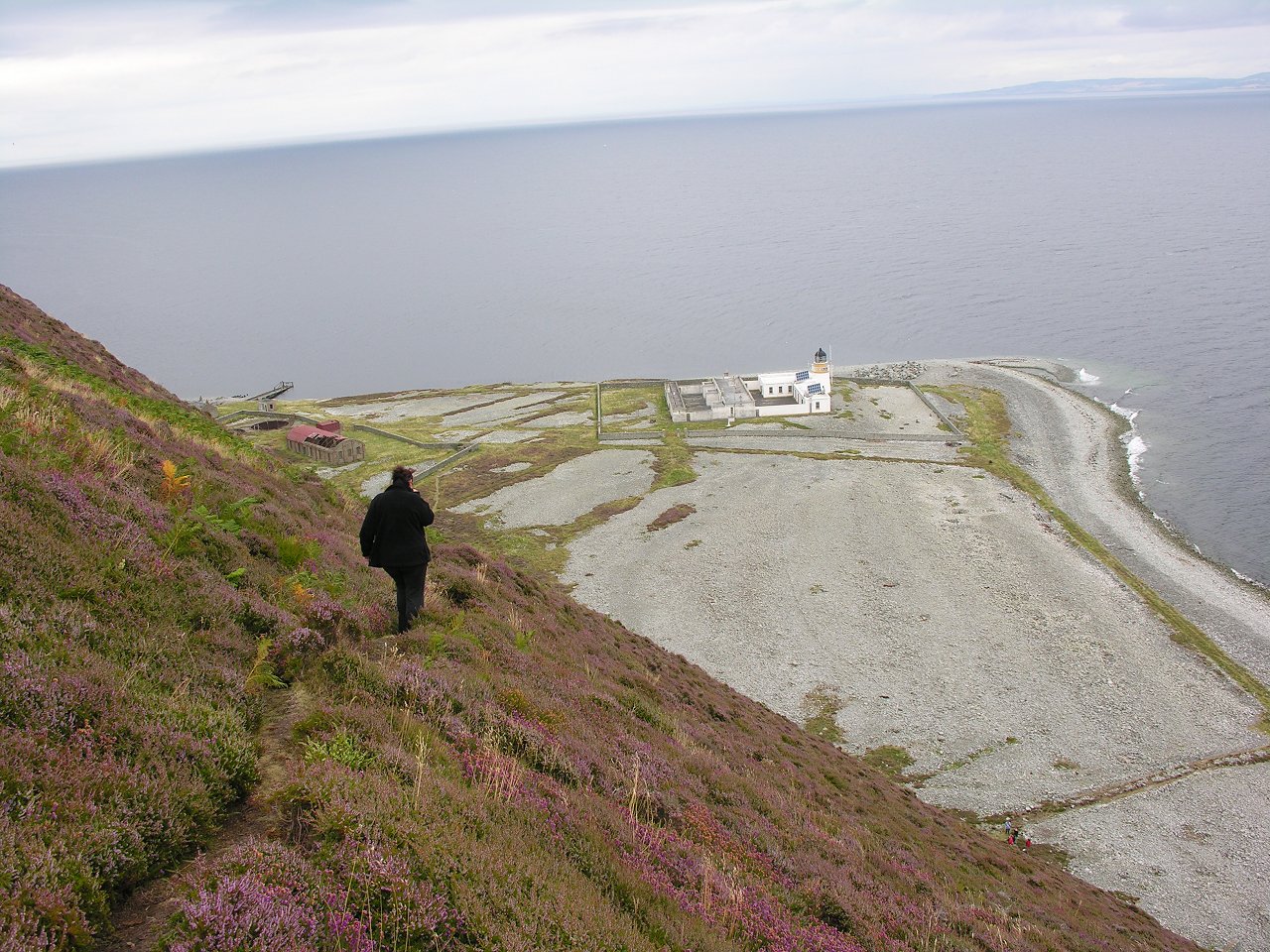
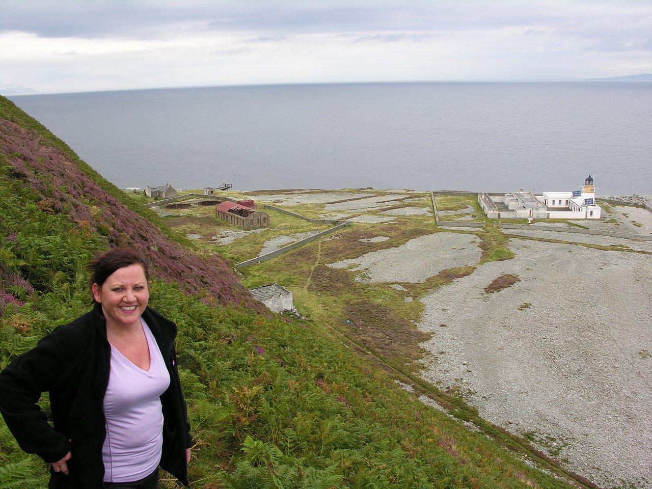
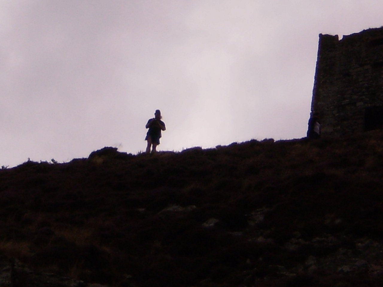
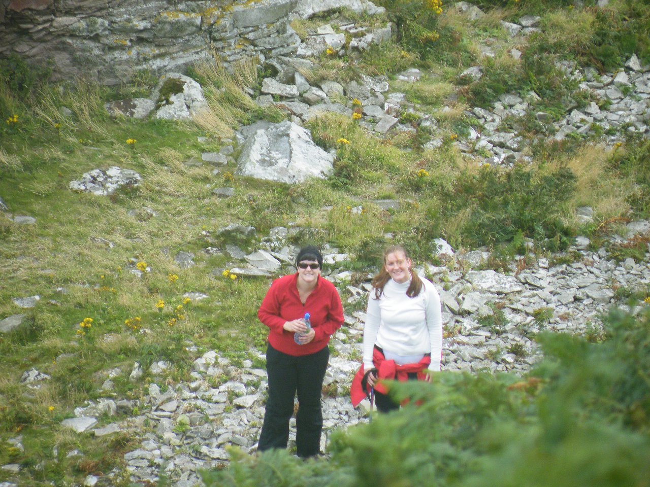
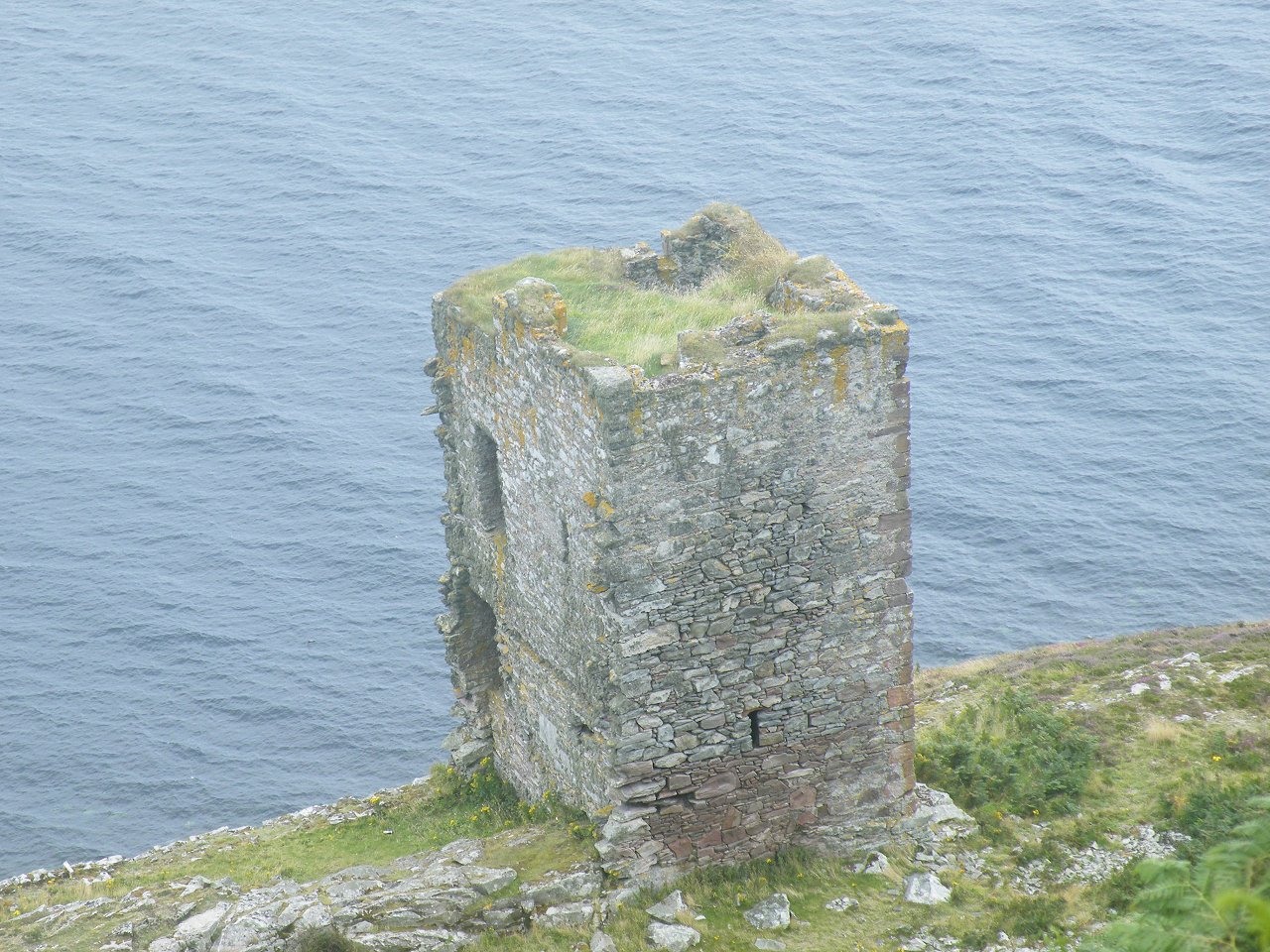
A hillside is made for climbing, so a group of us set off for the top. Some stayed behind to "prepare lunch". Some were happy to walk as far as the old castle, and return to the beach. On the way over from the mainland to Ailsa Craig, the top of the island was thick with cloud. As luck would have it, the cloud cleared to give a reasonably clear day, and the view from the top was awesome. The lands farther away were not as spectacular as they no doubt would have been on a clearer day. But to the West we could see Kintyre and Sanda Island, to the North was Arran and The Holy Isle. The mainland was fairly clear in the East, and just visible was The Mull Of Galloway to the South East. The Irish coastline was also visible in the South/ South West, but the more distant landmarks were not particularly clear. Sanda Island is also seen from Mauchline Hill on a clear day. Click here to view photos taken in summer 2009. |
|
|
|
 |
 |
 |
 |
 |
 |
 |
 |
 |
 |
 |
 |
 |
 |
 |
 |
 |
 |
 |
 |
 |
 |
 |
 |
 |
 |
 |
 |
 |
 |
 |
 |
 |
 |
 |
 |
 |
 |
 |
 |
 |
 |
 |
 |
 |
 |
 |
 |
 |
 |
 |
 |
 |
 |
 |
 |
 |